Seismic surveys – a look into the geological underground
Nagra has investigated the geological underground of Northern Switzerland and Wellenberg using numerous methods, including seismic measurements.
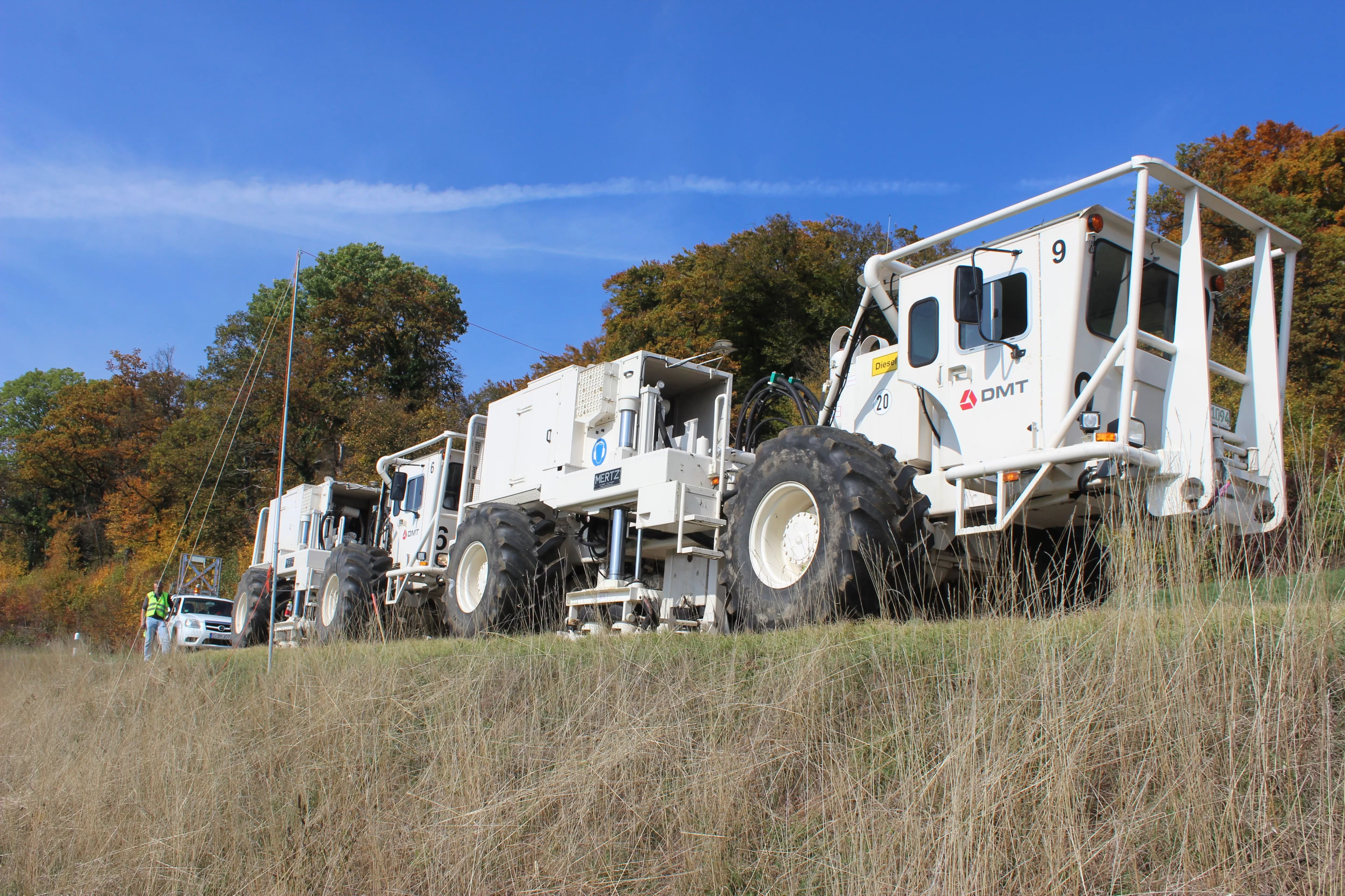
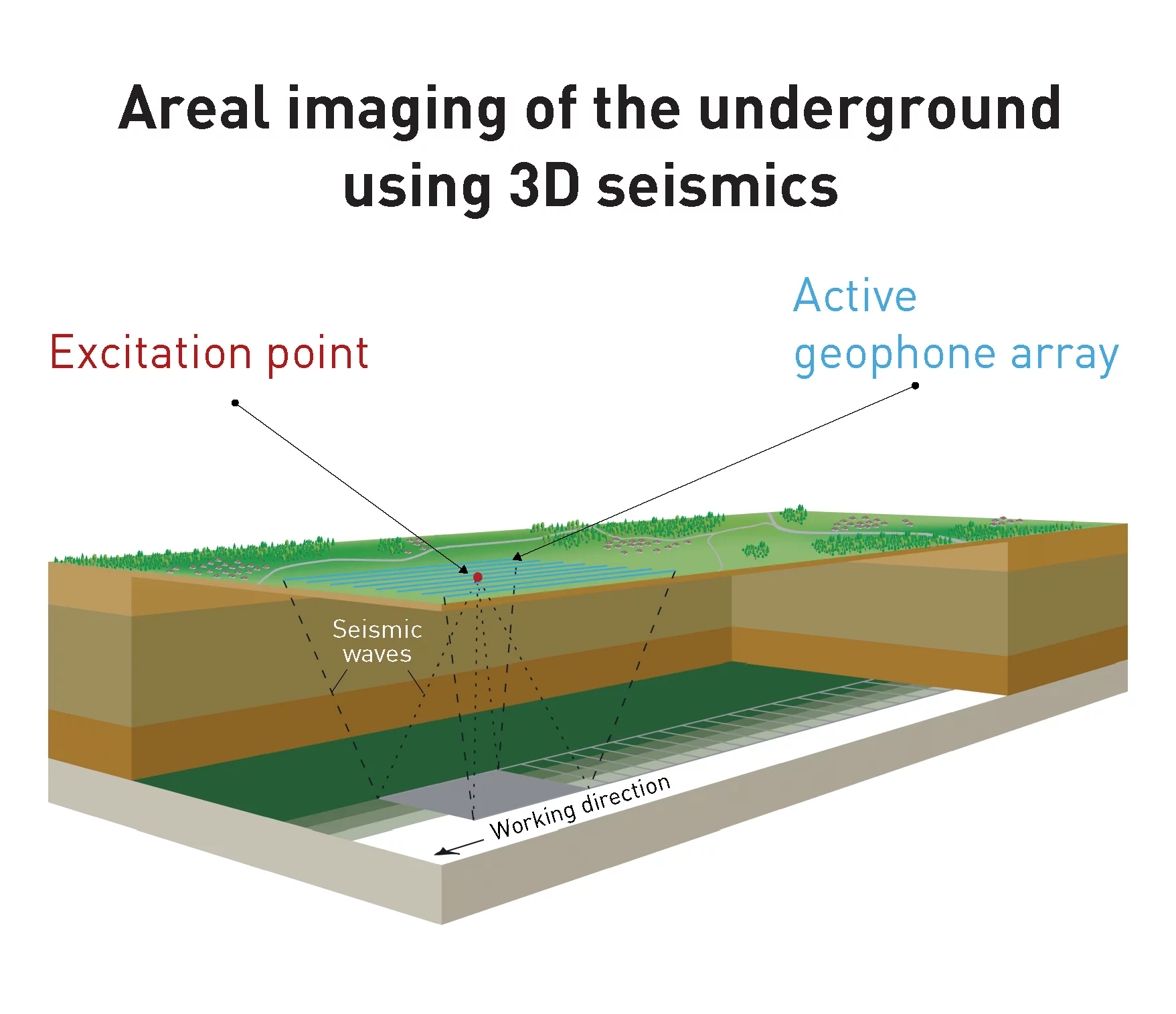
Seismic measurements rely on vibrations that are artificially generated by vibrator vehicles or small explosive charges (in boreholes a few metres deep). The waves propagated underground are reflected by the different rock layers. Special sensors (geophones) at the earth’s surface register the reflected seismic signals. Scientists analyse the data, present the geological layers in the form of maps and prepare profile cross-sections.
What do the measurements reveal?
The measurements provide information on the location and structure of the underground rock layers, particularly on their thickness and the presence of fault zones. Modern seismic methods also provide information on certain rock properties and can reveal small structural irregularities.

Where were measurements conducted?
The interactive map provides an overview of the various seismic measurements campaigns conducted by Nagra in Northern Switzerland between 1982 and 1987. In 2011 and 2012, 2D seismic surveys were conducted in Cantons Schaffhausen, Zürich, Aargau and Solothurn within the framework of Stage 2 of the site selection process for a deep geological repository. Between October 2015 and early 2017, 3D seismic investigations were carried out in the Jura Ost, Zürich Nordost and Nördlich Lägern siting regions. Further 2D seismic measurements provided additional knowledge of the uppermost rock formations just below the surface. In contrast with 2D seismic methods, which reveal information only along the seismic lines, 3D imaging provides continuous information within the entire survey area.
The following video offers impressions of the 3D seismic measurements carried out in the Jura Ost and Zürich Nordost siting regions: